Geography
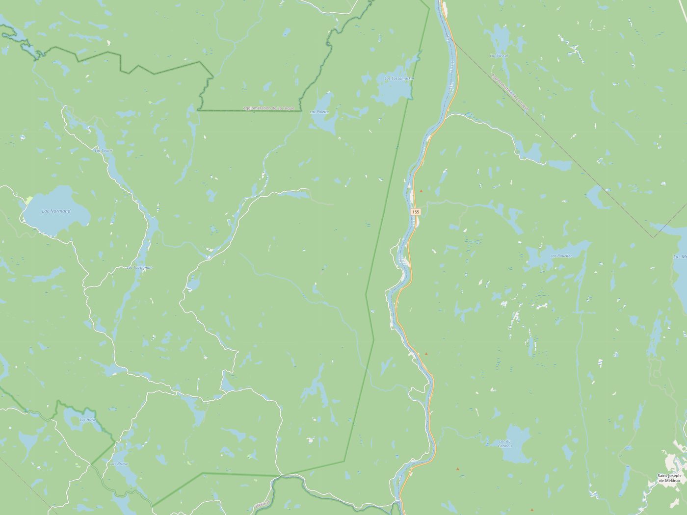
In the Mauricie, in the pine country up the Saint-Maurice river, between Grandes-Piles and Lac-Édouard. La Tuque is your last real town going north. Shawinigan going south. In between, it's trees.
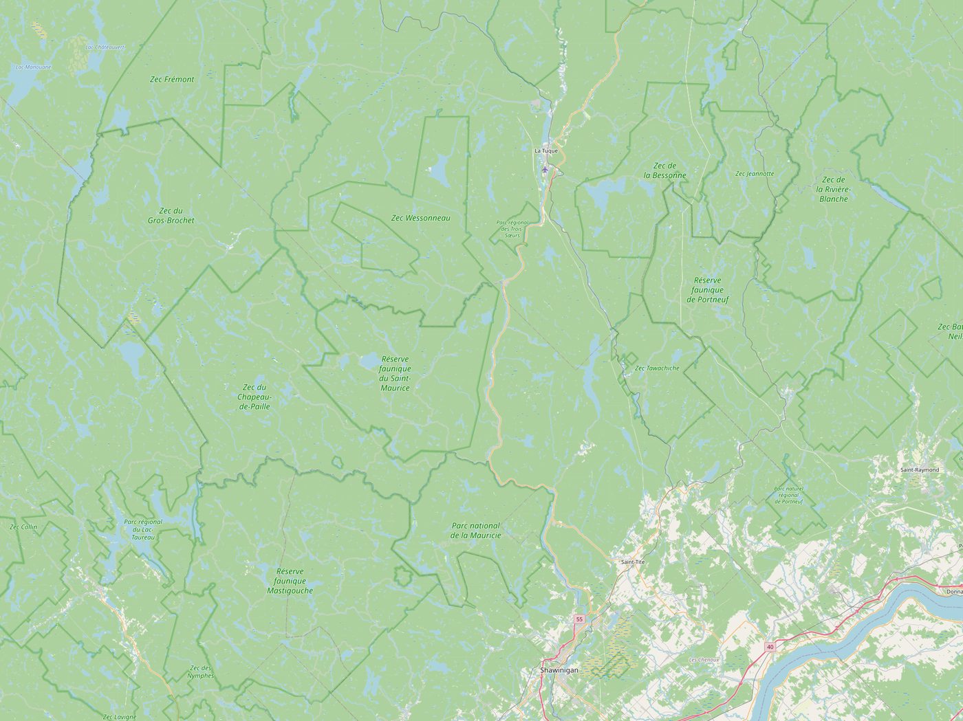
Base map © OpenStreetMap contributors, licensed ODbL. Tiles are baked into the site, so no request leaves your browser for a map server.
Don't look for the name on the map, it isn't there. The Commission de toponymie has never registered Chimoubongo and the town has never filed the paperwork. Suzanne says being surveyed is the first step toward being taxed.
Note: GPS units routinely disagree with each other inside town limits by up to four hundred metres. The town has decided this is the GPS units' problem.
Getting Here
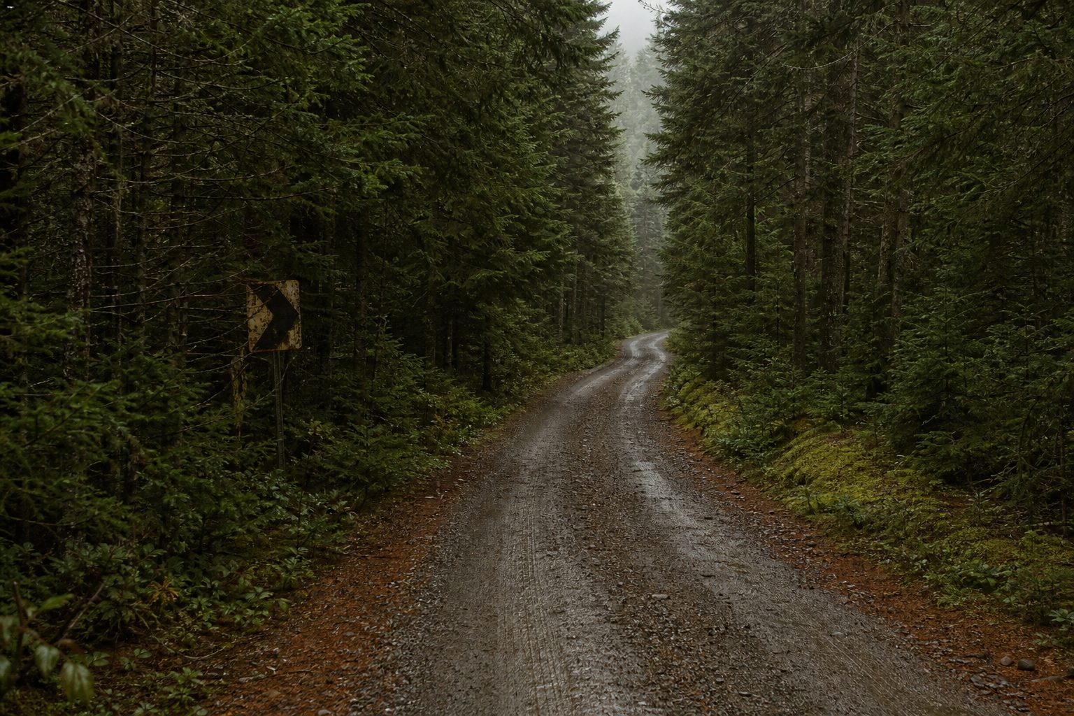
Start in Shawinigan. Everyone starts in Shawinigan. Take Route 155 north along the Saint-Maurice and settle in, because the pines close over the road around Grandes-Piles and they do not open again.
Stop the car. Turn it off. Get out. Stand there for one full minute without looking at your phone. In fifty-five years this has worked every single time, and we have stopped trying to explain why.
Past the NOT FAR sign. From here the pavement stops and the rest of the directions stop being much use.
Practical
There is no hotel. There are eleven spare rooms and four are usually free. Ask at Thursday Soup. Camping in the Standing Grove is allowed if you are quiet and pack everything out.
A jar. Boots you do not mind ruining. A coat, even in July. Cash, because the card machine reads cards when it feels like it.
Drones. A schedule. A firm departure date, because those tend to get amended and then you feel silly.
One bar, on the ridge, facing east, in clear weather. There is a landline at the post office and anyone may use it.
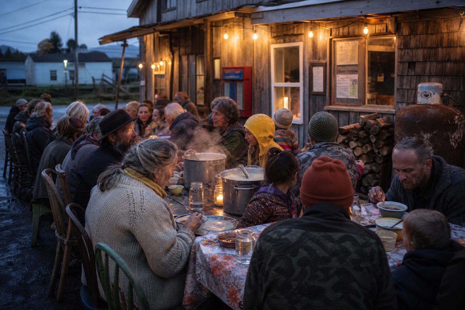
Last Thursday. There is always soup. Nobody organizes it.